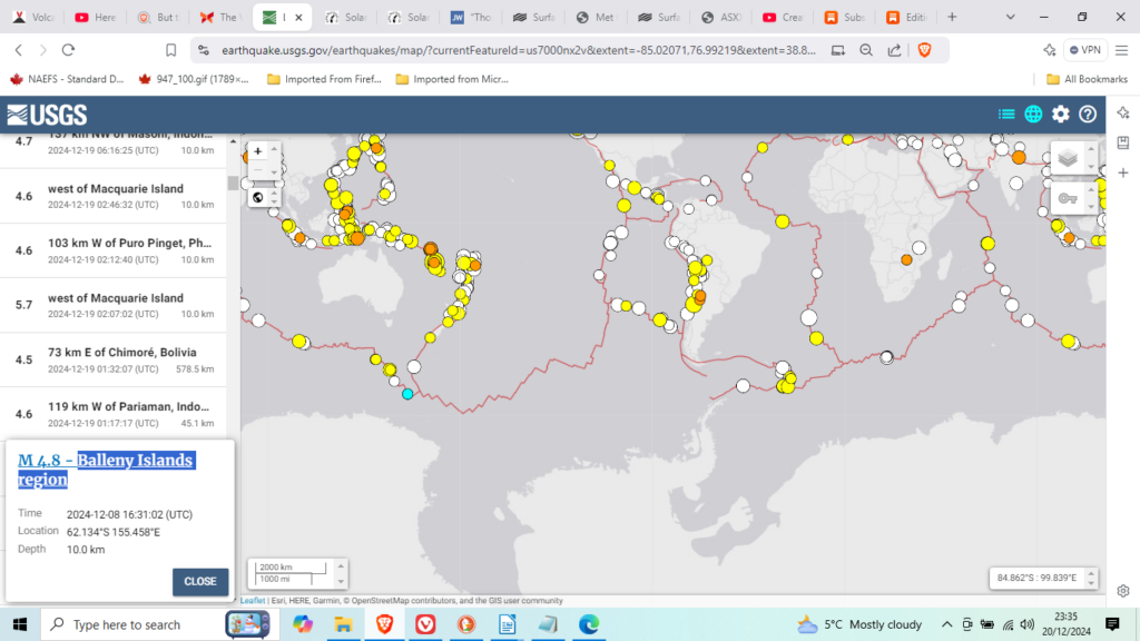
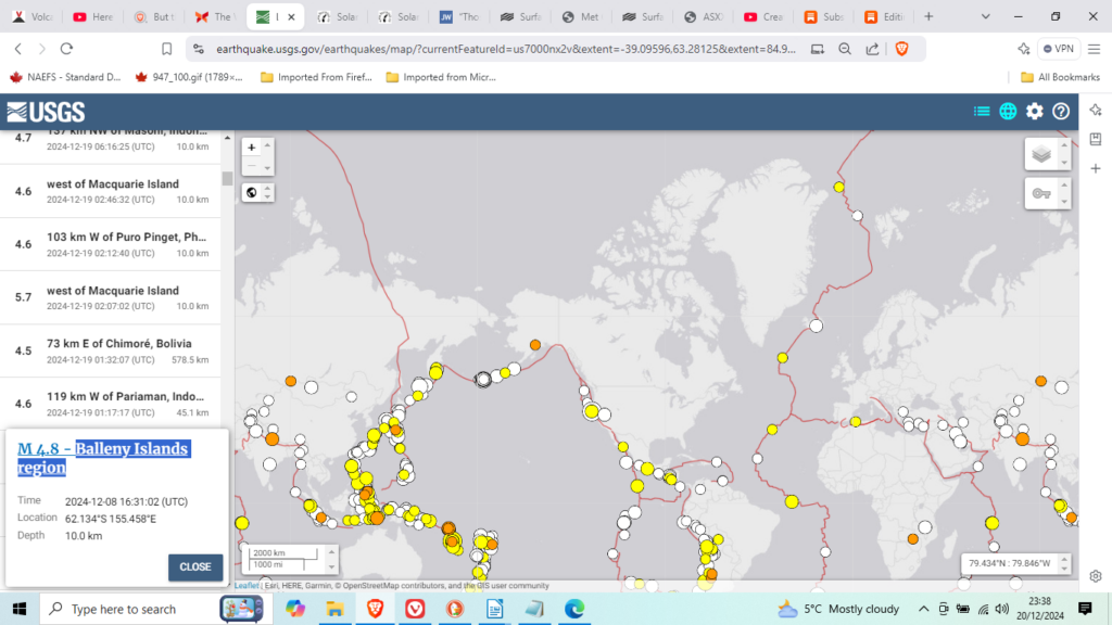
I have been trying to find a pattern for earthquakes that might be useful. So far, apart from weather forecasts, seismic signals have just two striking ones:

The ring around and including Antarctica is usually devoid of quakes. Whilst the area of Antarctica is smaller than it looks on this chart, it is in fact no larger than Australia. In fact it is much smaller if you don’t count the ice. Perhaps ice plays a significant part of the puzzle.
However the region includes everything from the South Pole to nearly 60 degrees South nearly one third of the planet. the Balleny Islands region is about as far south as earthquakes occur. Interesting is the fact that all the Islands of some 60 or so south all have one major pattern so far ignored by science:
Two week after a quake, on or near, such islands a strong wind (usually but not always a rotating storm) is generated in the region of the hemisphere to the north. Tornadoes as well as hurricanes are among the winds so generated with the earthquakes of the South Sandwich Islands.
The other striking fact is just like it:

The North Pole is also devoid of earthquakes. I say interesting but I have never followed the North Polar earthquakes to check any storm connections; so maybe it is not so interesting. I don’t recall when I first noticed the connection to quakes in the southern hemisphere, nor why or how I chanced to find any such connection. Maybe I should extract a digit?

