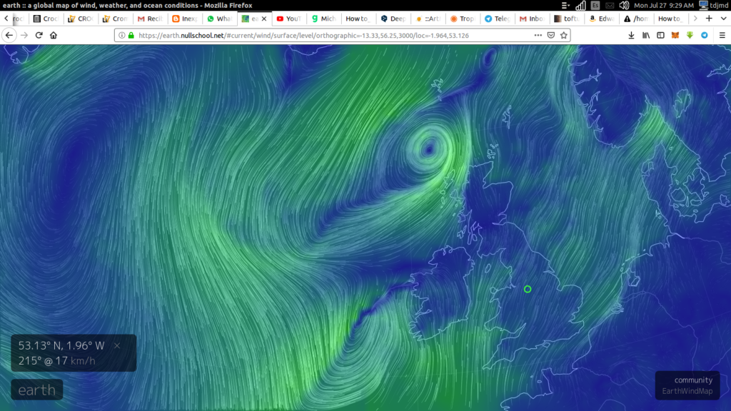
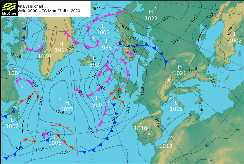
If you reduce it from specifics you can get a good generality, the course of the Icelandic low is from Newfoundland to Europe. It never goes to Greenland. The storms hit land and fade producing earthquakes elsewhere and a few days later volcanic eruptions. On Greenland they become anticyclonic as the dead is buried, and the anticyclone is returned to be imbibed by the Lows when their densities match (again.)


MetOffice Surface pressure charts
https://www.metoffice.gov.uk/weather/maps-and-charts/surface-pressure/#?tab=surfacePressureColour&fcTime=1441929600
Low-pressure area – Wikipedia
https://en.wikipedia.org/wiki/Low-pressure_area
A low-pressure area, low area or low is a region where the air pressure is lower than that of surrounding locations. Low-pressure systems form under areas of wind divergence that occur in the upper levels of the atmosphere.The formation process of a low-pressurearea is known as cyclogenesis.Within the field of meteorology, atmospheric divergence aloft occurs in two areas.
I have slowed it down to minimums speed:
https://www.youtube.com/watch?v=obsw9qiBnjo
YouTube
[4K] 2018: full, one year time lapse of surface winds over the North Atlantic This animation shows a full, one year time lapse animation of surface winds from Jan 1, 2018 until Jan 1, 2019, over the North Atlantic. The data come…

